A practical field guide to Mérida, cenotes, ruins, beaches, towns, food, and the places in between.
Mérida, Valladolid, Progreso, and Izamal each show a different side of Yucatán.
Pick the place that pulls you in first. The rest of the trip gets easier from there.
Museums, markets, cantinas, plazas, galleries, food, and the easiest city for first-time Yucatán travel.
Explore Mérida Colonial cityColorful streets, cenotes, convents, quiet evenings, and easy access to Chichén Itzá and Ek Balam.
Explore Valladolid Gulf coastMérida’s closest beach town, with the Malecón, seafood, shallow Gulf water, and the long pier on the horizon.
Explore Progreso Yellow cityYellow streets, a vast convent atrium, Maya platforms, local food, and one of the easiest towns to wander.
Explore IzamalStart with a useful route, realistic transport and the season—not a list of everything in the state.
The essential choices for bases, timing, transport and a realistic first route.
Start planning RoutesDay-by-day plans for short trips, a full week and longer routes.
Browse itineraries TransportCar, bus, colectivo, taxi, tour, driver — and where each option makes the most sense.
Understand transport SeasonsWeather, heat, rain, busy periods and what changes through the year.
Choose your datesCenotes, ruins, beaches, wildlife, and food all ask for a slightly different pace. Start with the pull, then choose the places that fit.
Cool water, limestone pools, cave swims, jungle roads, and some of the best heat relief in the state.
Find cenotes HistoryChichén Itzá brings the scale. Uxmal brings the drama. Mayapán brings a different kind of quiet.
Compare the ruins CoastThe Gulf coast has its own rhythm: seafood towns, long piers, flamingos, mangroves, and easy escapes from Mérida.
Find beaches NatureFlamingos, crocodiles, mangroves, salt flats, lagoons, and boat trips across the quieter edges of the state.
See wildlife MéridaMarkets, panuchos, cochinita, relleno negro, cantinas, cafés, and the places that make Mérida worth lingering in.
Eat in MéridaPick the right base and style of stay before comparing individual properties.
Compare Mérida, Valladolid, the Gulf coast and smaller towns.
Compare bases City staysNeighbourhoods, Centro hotels, boutique stays and practical trade-offs.
Explore Mérida stays Historic staysEditorial picks around Mérida, Uxmal and the Yucatán interior.
Explore hacienda stays Gulf coastChoose a practical base for beach time, wildlife and quieter evenings.
Explore beach staysYucatán makes more sense when you see the clusters: cenotes around Homún, ruins along the Puuc Route, beach towns on the Gulf, and the inland roads between Mérida and Valladolid.
Use the map to group places into better clusters.
Swim spots plotted by location.
Map the swim spotsMaya sites across the state.
Map the Maya sitesGulf coast from Progreso to Río Lagartos.
Map the coastHenequen estates and conversions.
Map the haciendasPueblos worth slowing down for.
Map the pueblosUxmal, Kabah, old roads, quieter ruins, and one of the strongest archaeology loops in the state.
Drive the Puuc RouteFlamingos, mangroves, beach, seafood, and a slower coastal place with room to breathe.
Explore CelestúnClose to Mérida, useful, lively, and good for seafood by the water.
Explore ProgresoClear water, good swims, and enough structure to keep the cenote circuit simple.
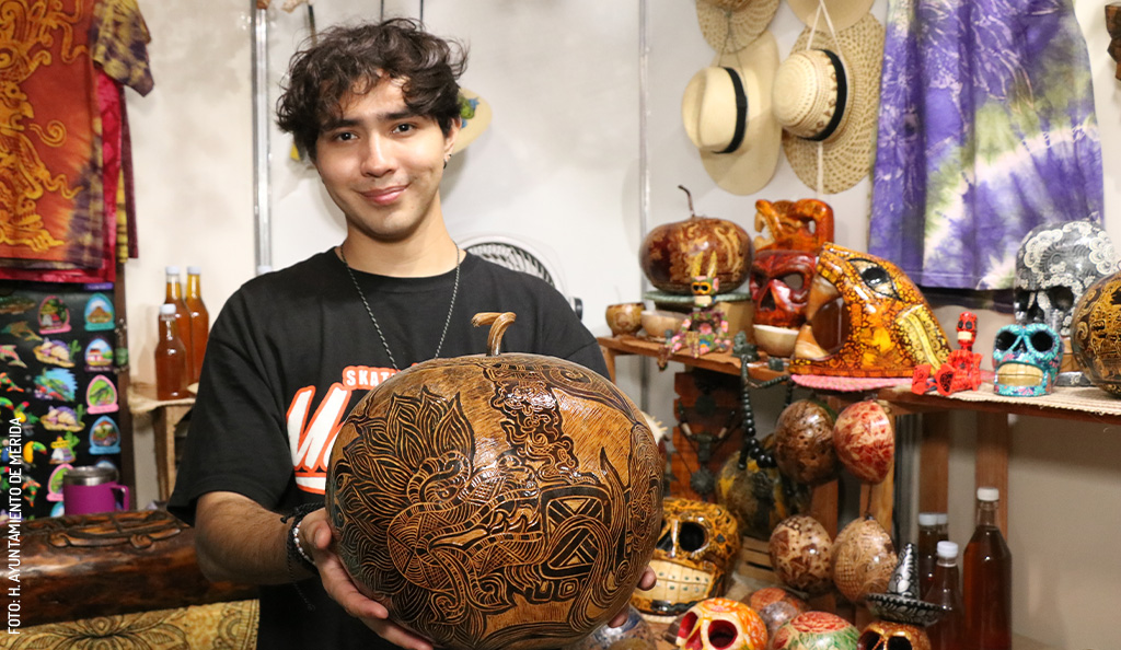
Explore Homún cenotesDates, free festival transport, crafts, food, and a practical evening trip from Mérida to Dzityá.
Plan your visitSome places are easy to do alone. Others work better with a guide, driver, boat, or local operator who knows the order of things.
Some links may earn a commission at no extra cost to you.
Pick the places that fit, leave room for heat and food, and let the trip stay loose enough for a very good detour.